


Uyuni, Bolivia
Salar de Uyuni and Reserva Nacional Eduardo Avaroa
June 1, 2008
Did they get you to trade your heroes for ghosts?
Hot ashes for trees?
Hot air for a cool breeze?
Cold comfort for change?
Did you exchange a walk on part in the war for a lead role in a cage?
- Pink Floyd
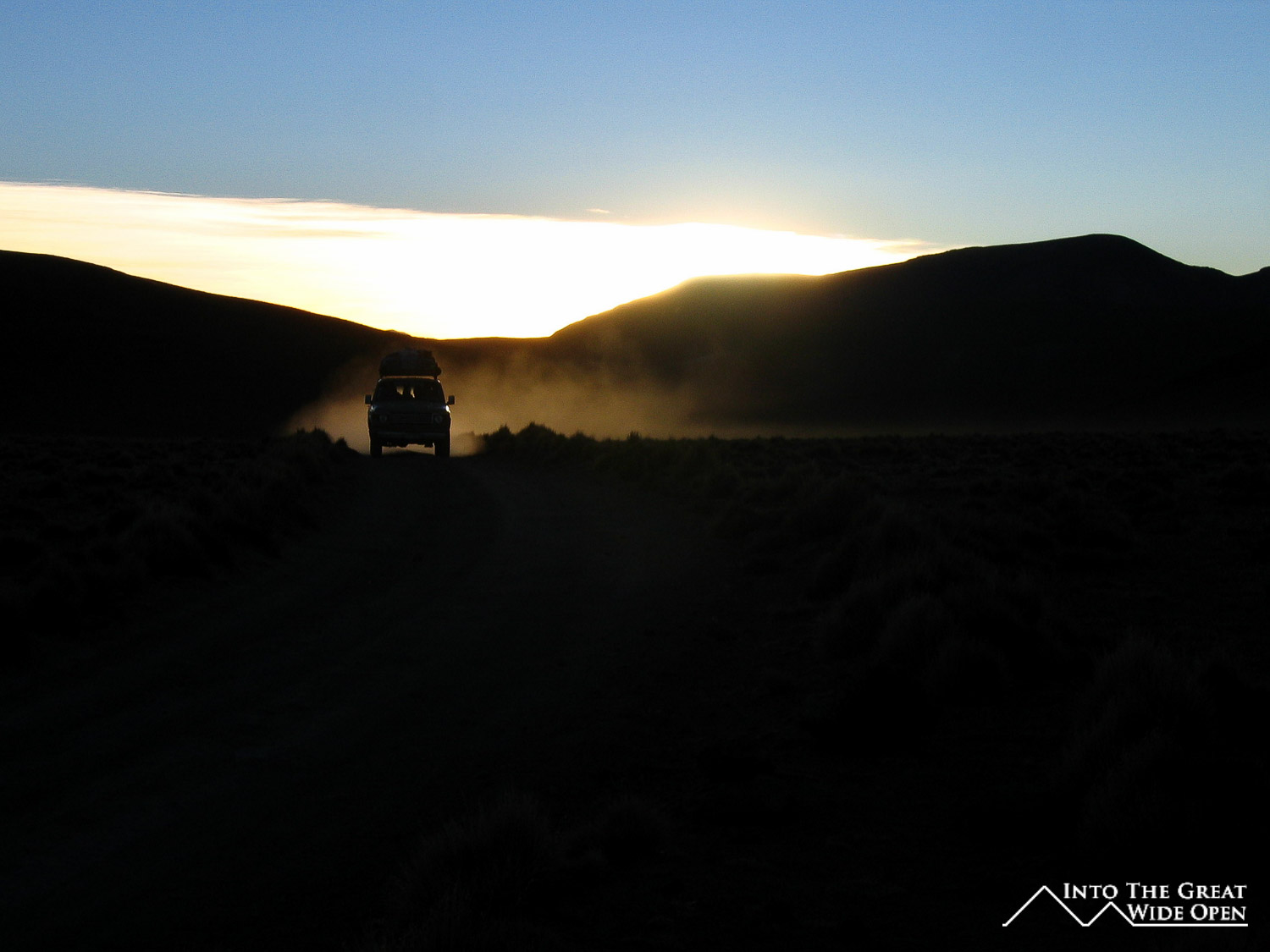
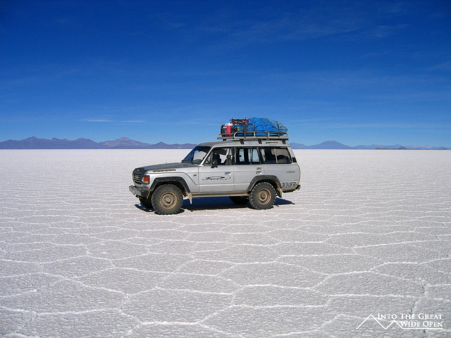
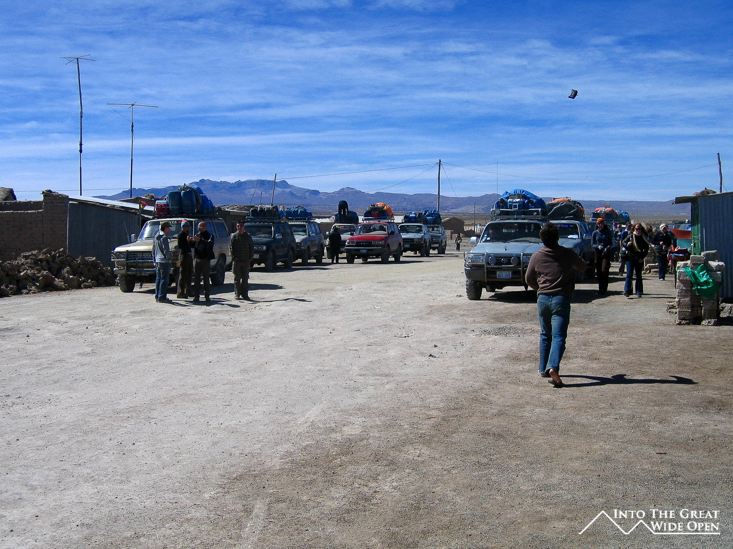
For the four day and three night trip to Uyuni I was the fifth person in a group consisting of an American couple and a Canadian couple who were sailors that had met somewhere over the course of their sailing adventures. The Toyota Landcruiser that we were in was not too packed with the five of us, the driver and the cook, although with a sixth person it would have been pretty tight in the backseat. The vehicle was in pretty good condition so the ride wasn't too bad.
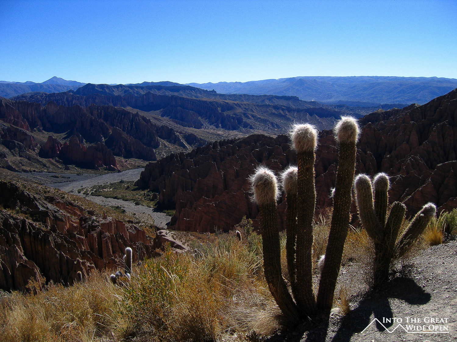
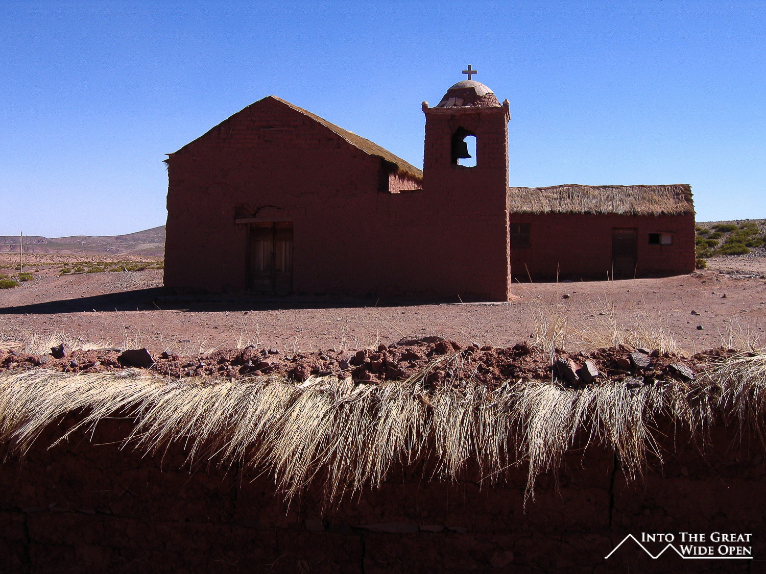
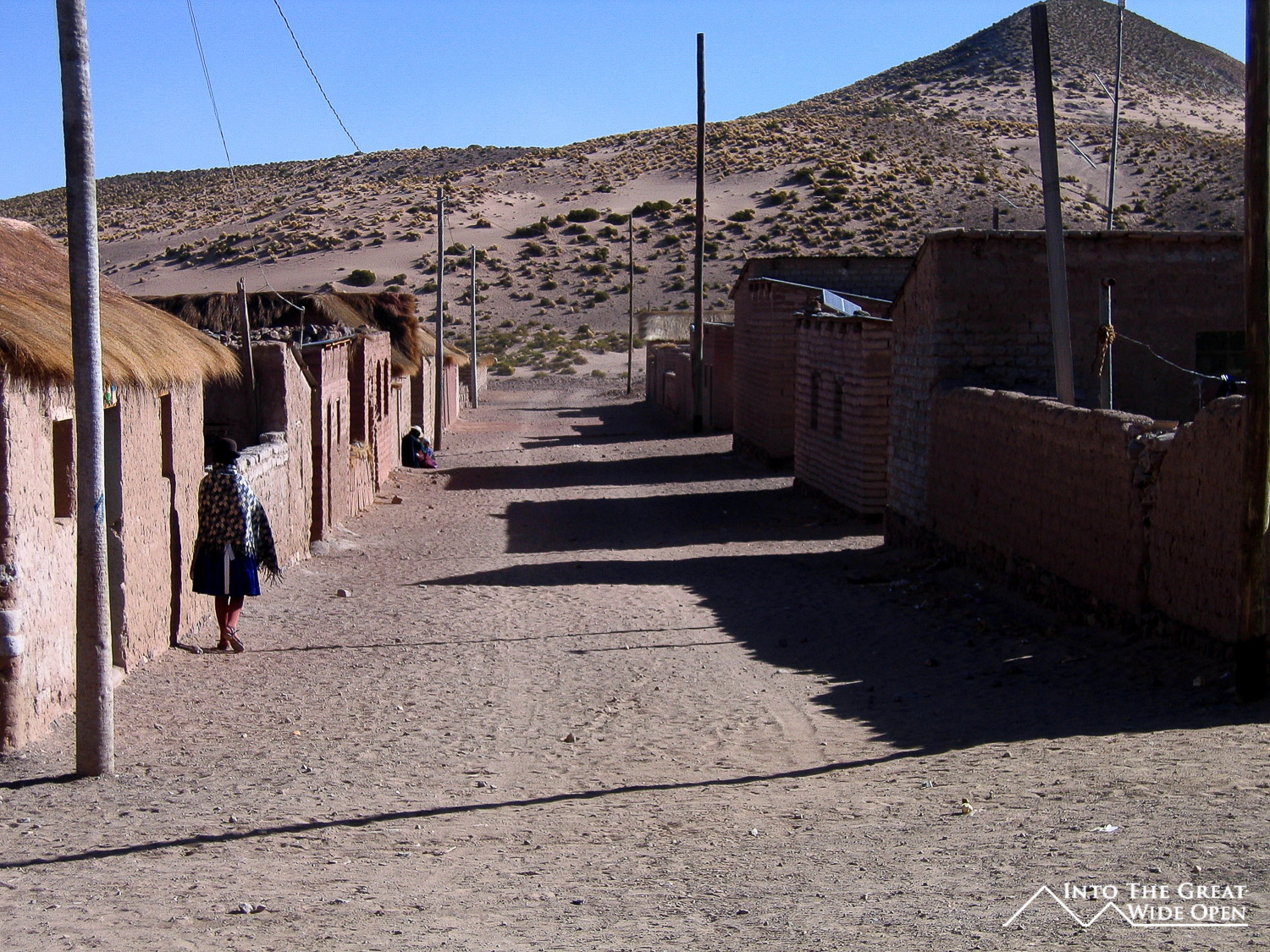
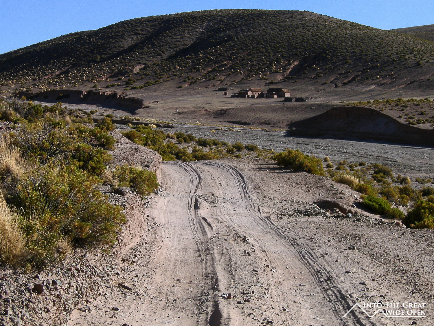
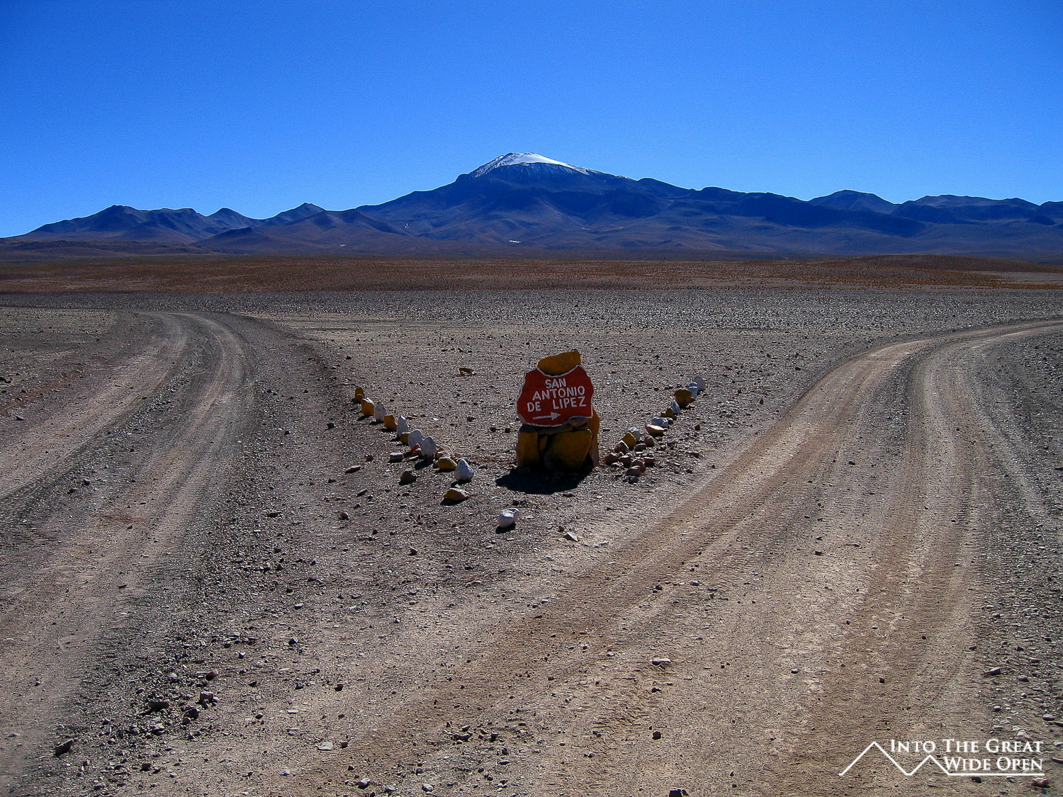
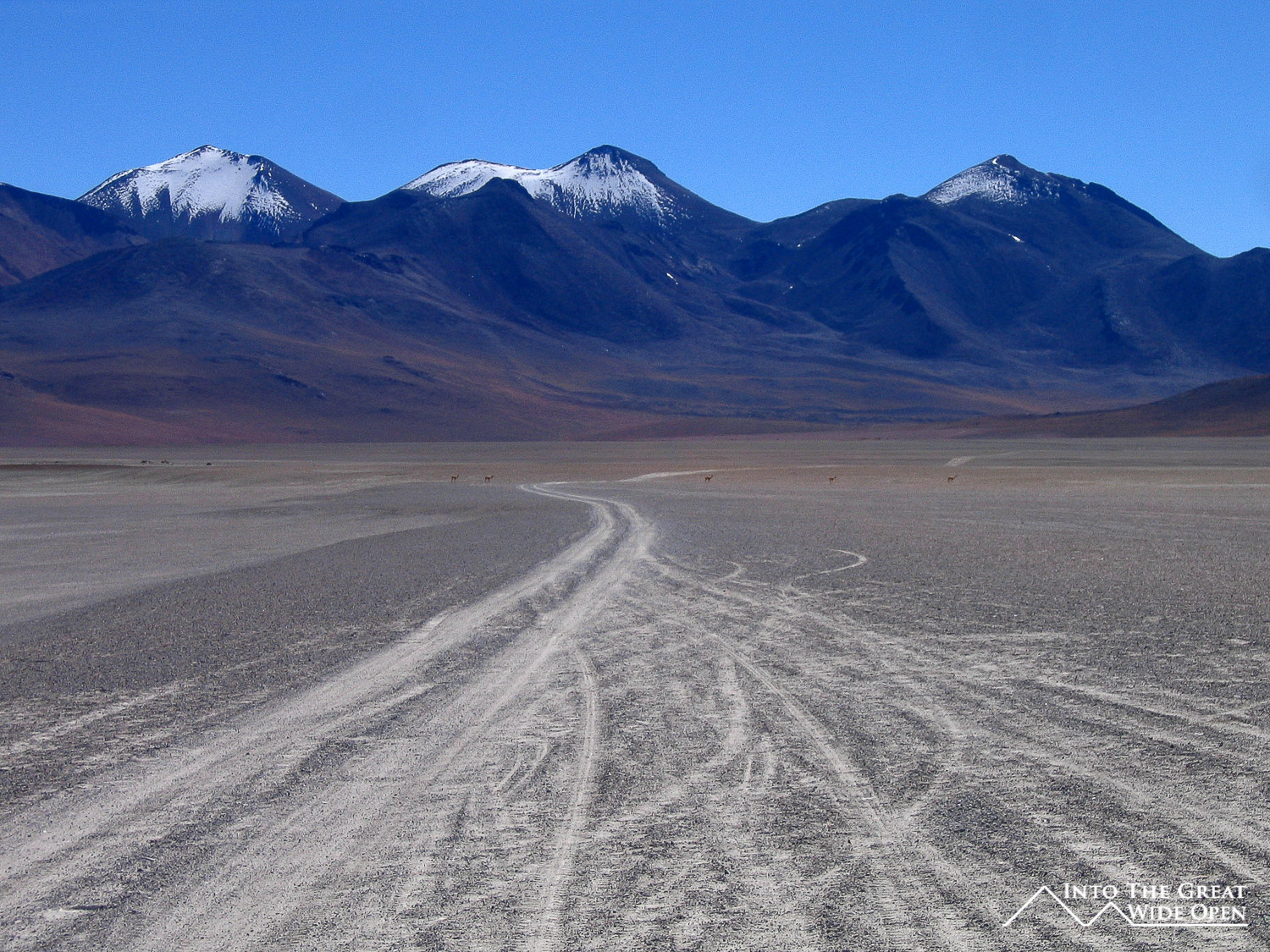
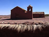
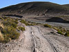
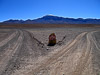
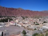
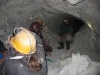
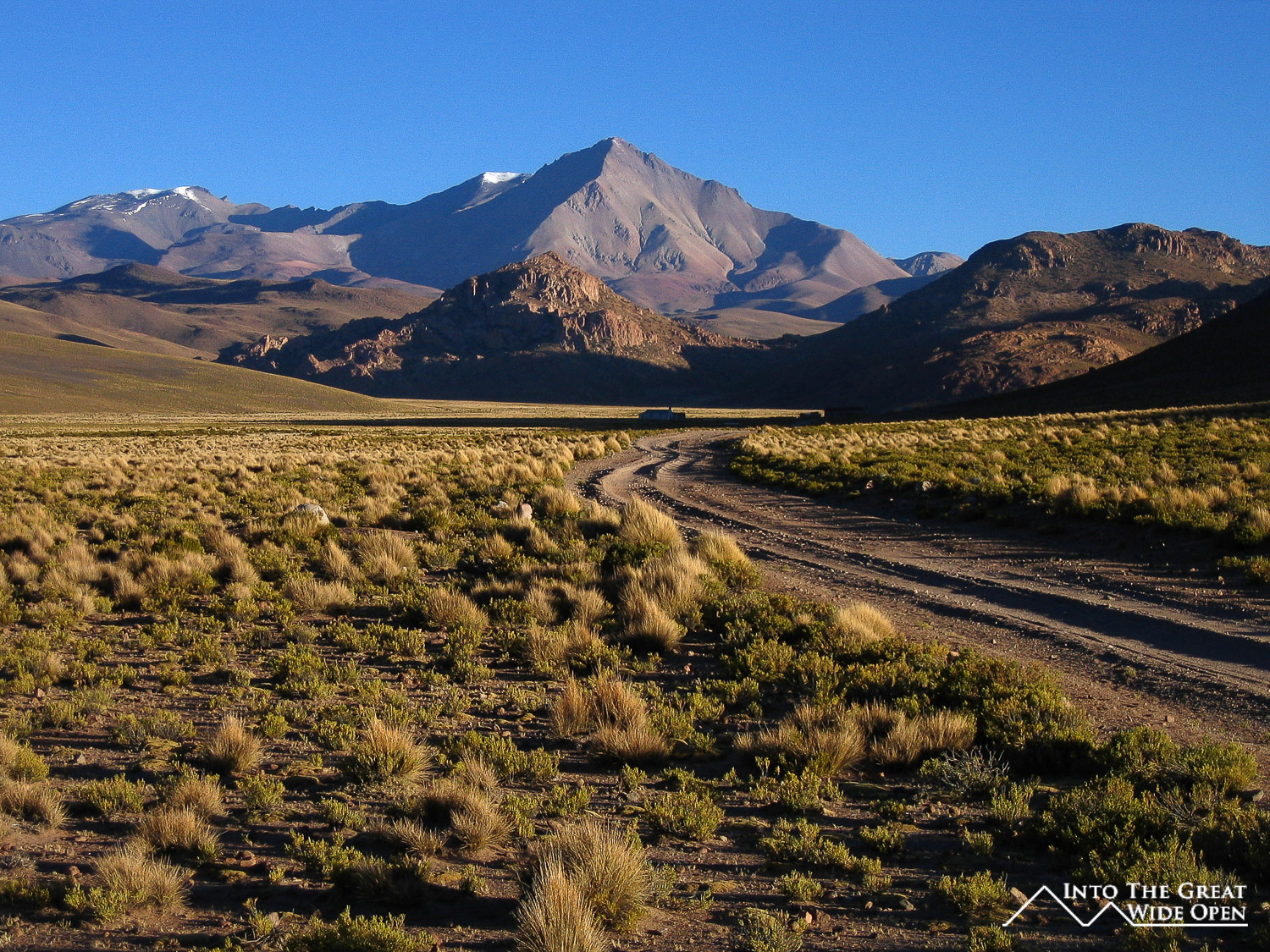
Leaving Tupiza the road climbed up through the canyons to the west of town with some nice views of the gnarled desert hillsides eroded by years of rains. As we continued through barren mountains we passed through a few isolated villages where the people work in mining silver, antimony, copper, and supposedly lead; as well as keeping llamas. These people live in such an isolated area that we were all amazed at how they could live out there and their reasons for doing so. Then our guide told us to think how could they live in the city when they have everything here, with the open space and fresh air; it was an interesting point of view. We had lunch at a dry riverbed and continued on our way passing several other small desert villages and we even stopped to give one kid a ride to the next village so he could attend school the next day since his village only had a school for the younger children.
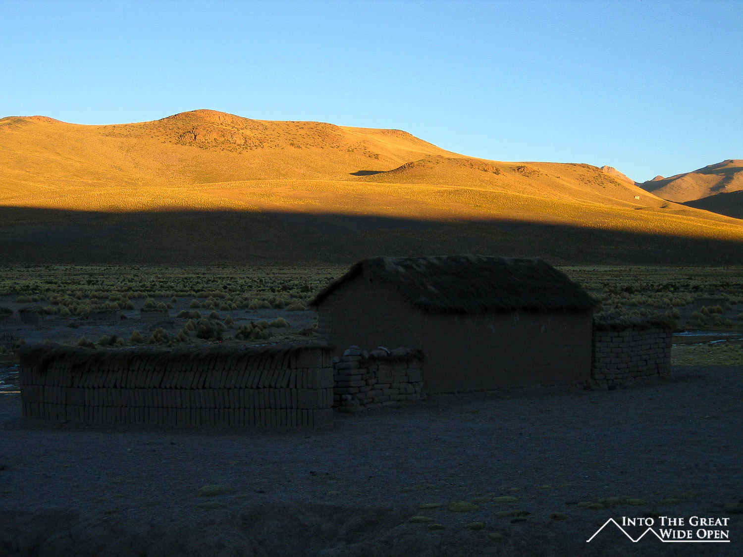
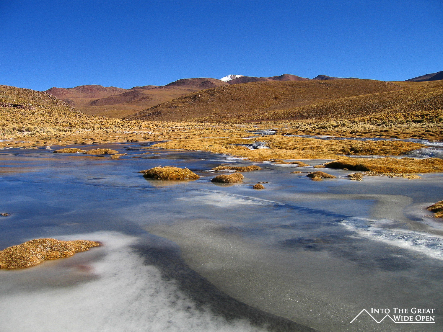
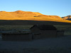
As we began to get higher in elevation we saw lots of ice on the few rivers and in patches on the ground. One of the rivers that we had to cross had ice that was almost an inch thick on it, and the older jeep in front of us had some trouble getting out of the river, probably because the tires were bald. Our vehicle had no problem and after crossing the river it was another hour or so drive to the little village at almost 4,300m where we spent the first night. The village had about 200 people and the people did some small scale gold mining and tended llamas. At night, the temperatures drop down to around -20C or -4F so it was very cold.
After a surprisingly good dinner we wandered outside to see the stars and it was nothing short of spectacular. The clear and thin air from the altitude and the darkness from extreme isolation and lack of outside light had filled the whole sky with dazzling stars, so many that it was hard to pick out constellations like the Southern Cross. Even the two couples that had been sailing for a long time and spent many nights out on the open ocean agreed that it was most amazing sky they had seen. You could clearly see the Milky Way but also other galaxies as well; it was simply amazing.
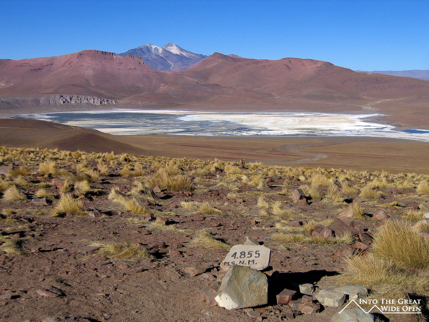
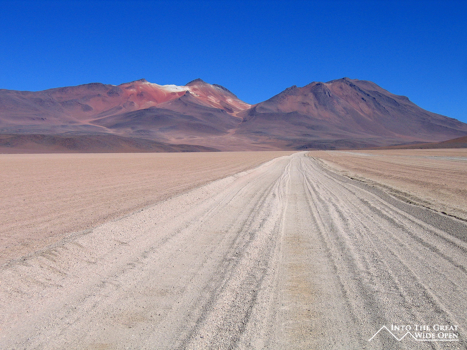
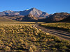
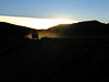
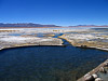
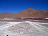
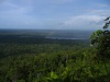
The morning of the second day we were up bright and early before dawn to depart for a long day of driving. After the sun rose we arrived at a vantage point with expansive views over a small salt lake. We continued through two villages that were so isolated that you couldn't even consider them to be in the middle of nowhere, they were on the far side of nowhere. Past these we reached the entrance to the Reserva Nacional Eduardo Avaroa, which contains Laguna Verde and Laguna Colorado and stretches all the way to the Chilean border.
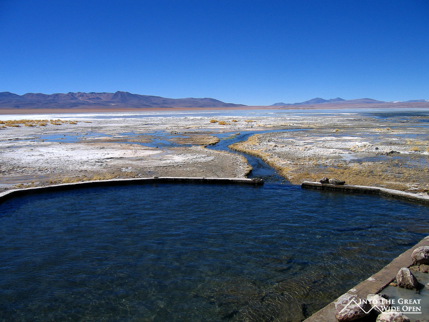
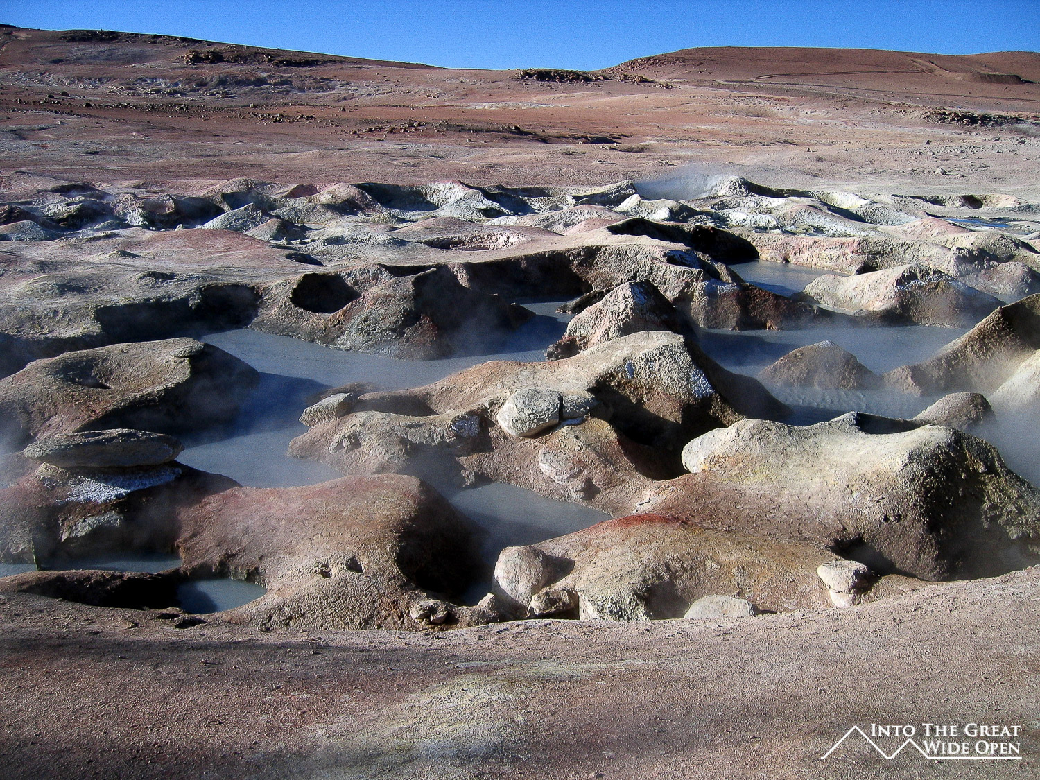
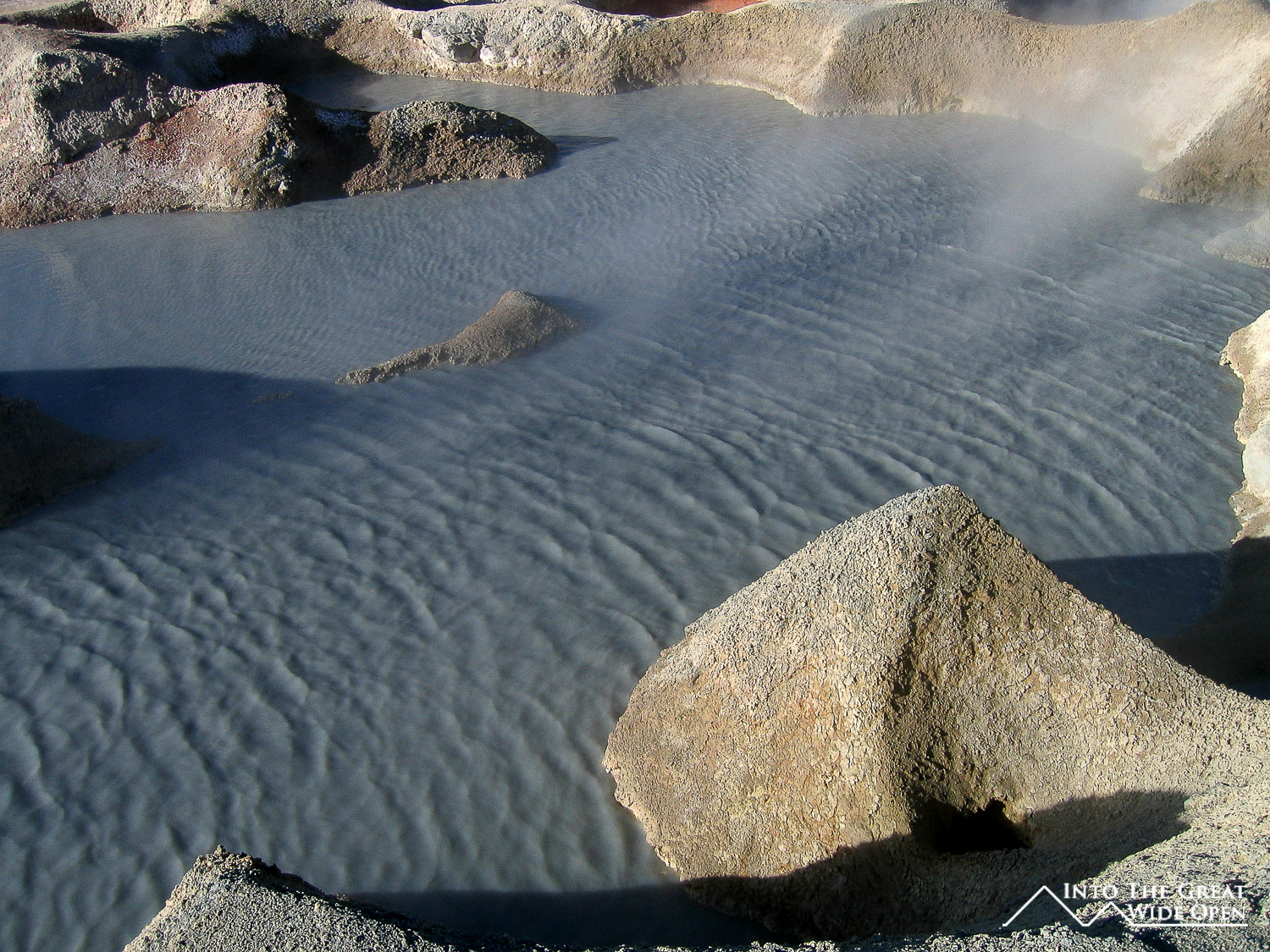
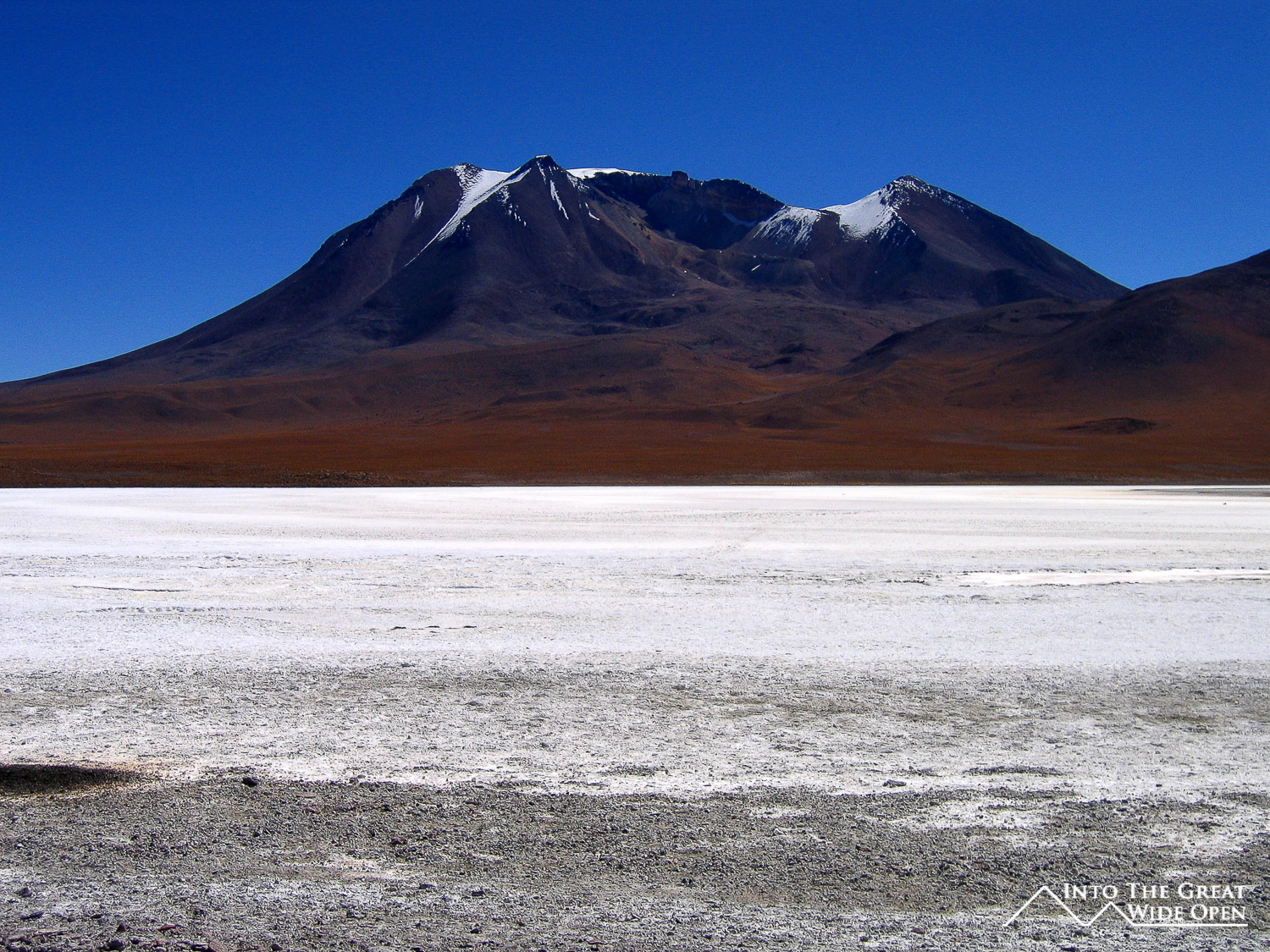
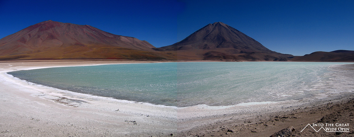
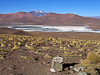
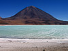
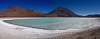
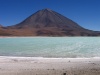
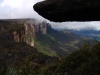
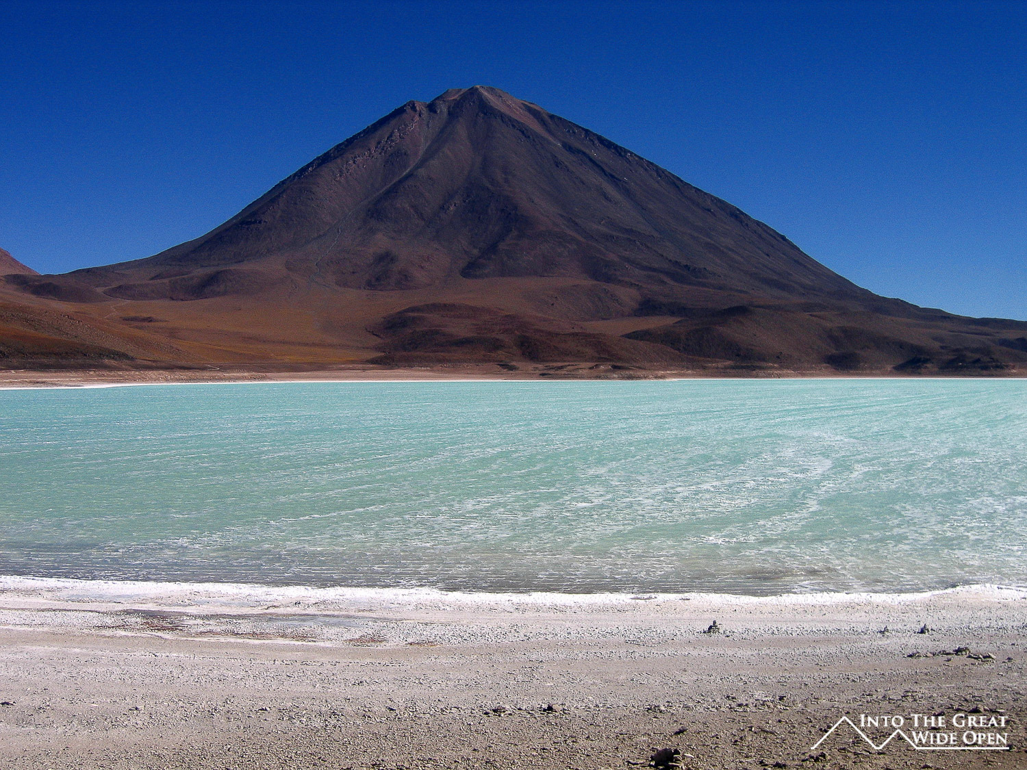
Inside the reserve our first stop was at the thermal baths overlooking a salt plain. The water was fairly warm but I only put my feet in because I didn't want to have to get out of the warm water and into the cold air. After lunch we continued south to the Dali Desert, a collection of Dali-esque rock formations perforating the desert sand and rising upward in strange shapes, some resembling buildings. Further on we reached Laguna Verde at the foot of Volcano Licancabur on the Chile-Bolivia border. The vivid green tint of the aptly named Laguna Verde was stunning and is the result of various minerals such as copper that are present in the water. When I was in San Pedro de Atacama, about an hour away across the border I had seen the same volcano and it looked much more impressive with its peak covered in snow, but from the Bolivian side the intense heat of the sun must melt all the snow that forms there. Unfortunately it was very windy and the surface of the lake was rippled with small waves so I was not able to get a clear shot of the water. From Laguna Verde we backtracked to the thermal baths and then continued in a different direction towards Laguna Colorado. The second night was spent at a slightly higher altitude about 5km from the shores of Laguna Colorado. It was bitterly cold yet again and since this was on the main route from Uyuni many other tour groups joined us in the basic hotel. After dinner we retreated to the warmth of the multitude of covers on our beds and went to sleep early.
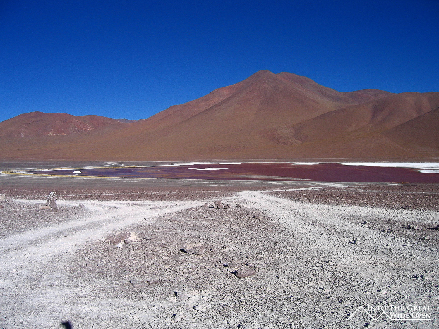
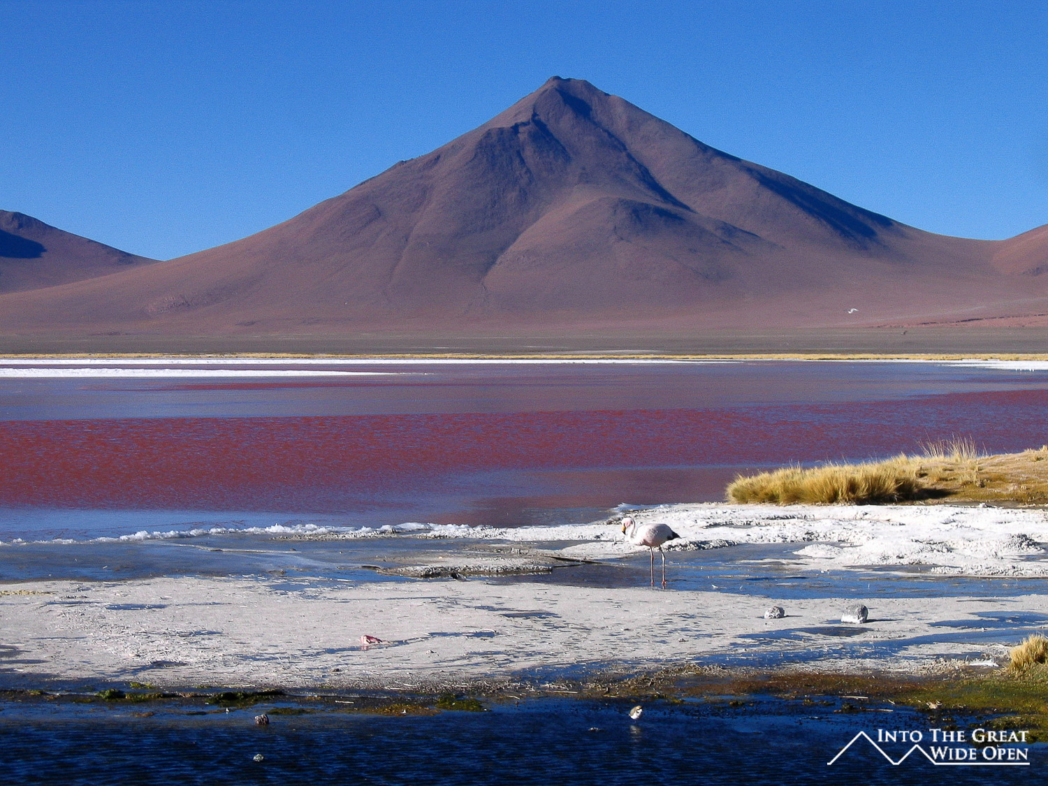
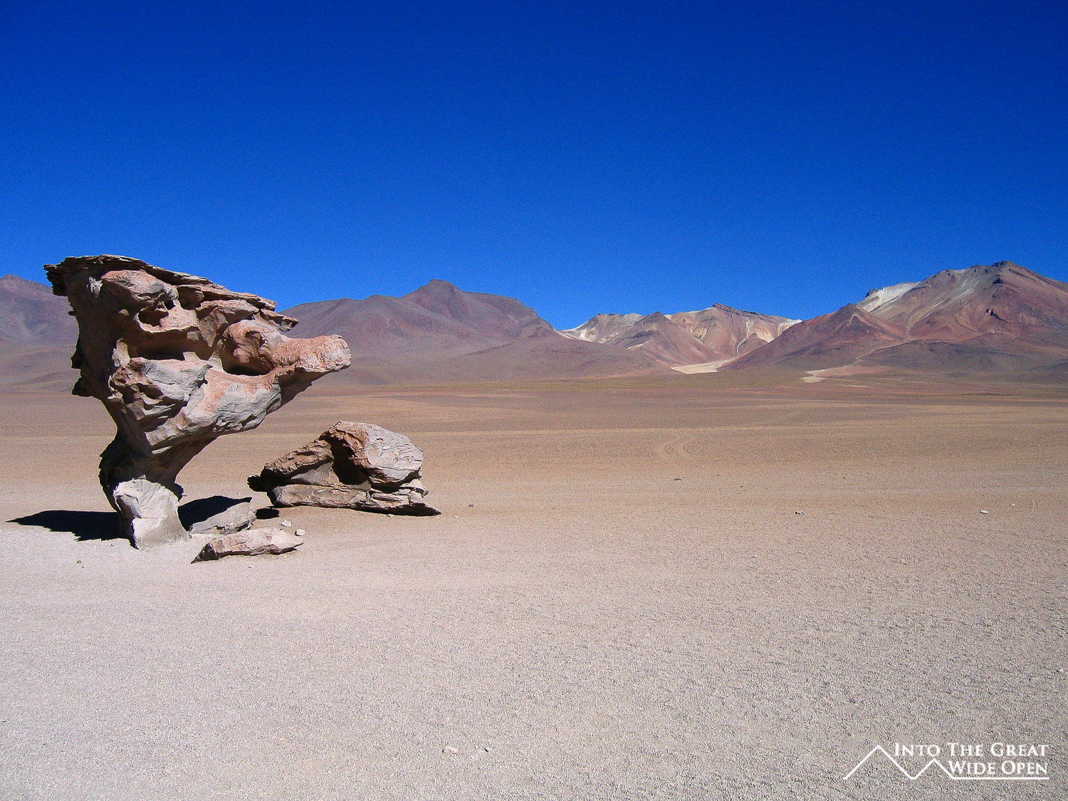
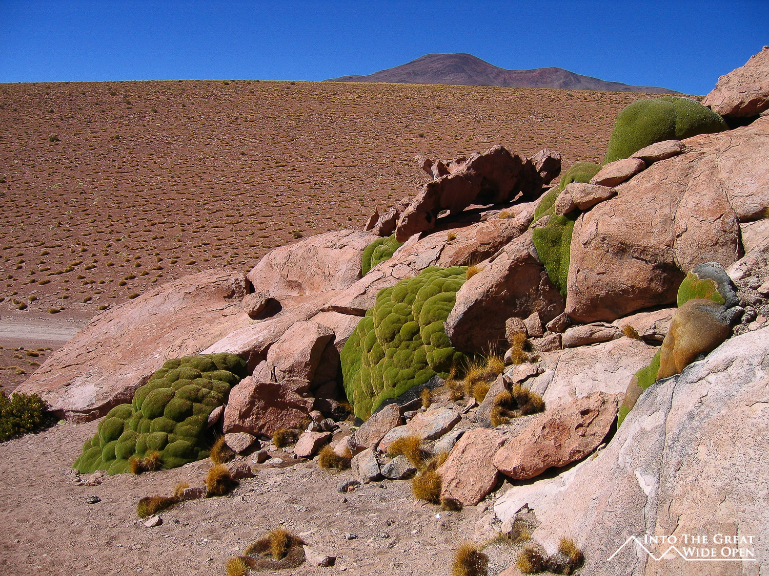
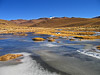
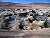
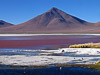
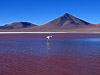
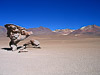
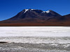
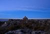
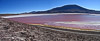
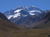
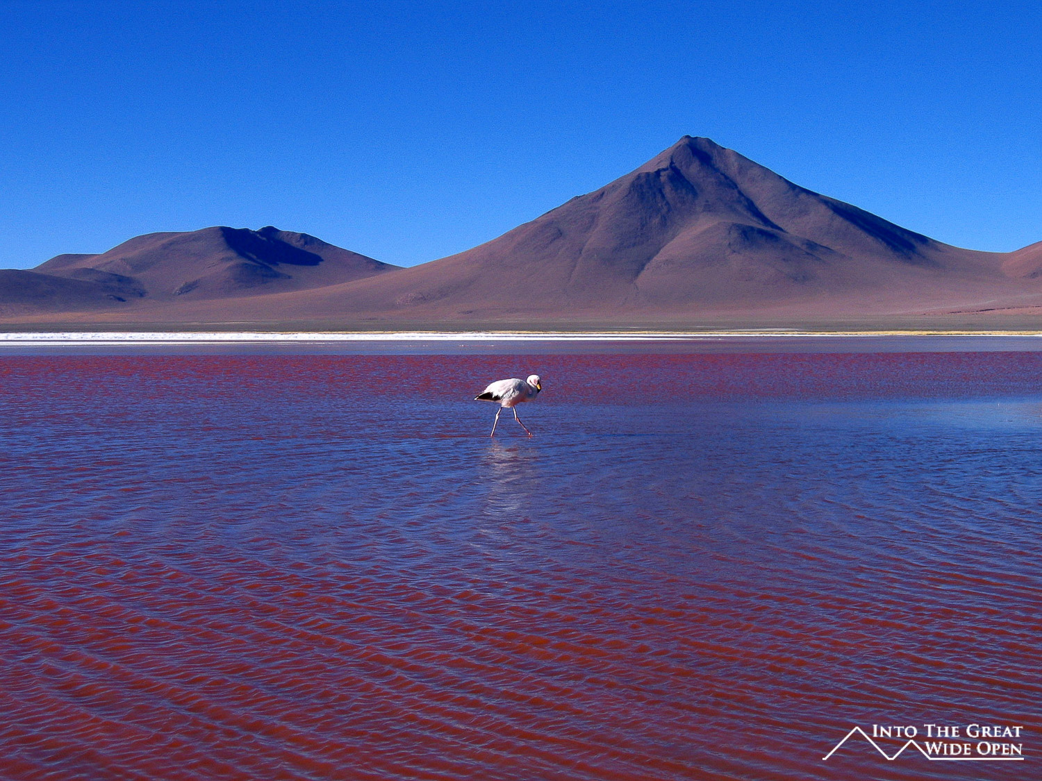
The third day began with spectacular views of Laguna Colorado, a brightly red colored lake resulting from the algae and clay that are in abundance in the lake. In the slightly warmer summer months there are hundreds of flamingos but now at the dawn of winter many had migrated to other locations. There were a few flamingos still hanging around the lake and we were able to get some good photos of them in the water with the pink on red contrast. The bright red lake is also bordered by some blindingly white salt flats and ringed by towering mountains creating an almost surreal atmosphere. North of the Laguna Colorado we reached what is known as the Rock Tree, a strangely tree-shaped rock formation nearby some other rock groups that tower up out of the sandy ground. Further on there was another rock group where we stopped for lunch that showcased the bright green algae or moss that grows on top of some of the rocks forming a stark color contrast amidst the arid desert. We passed a series of four or so lakes and a salt flat where the gusting wind was driving the salt dust high into the air forming towering white clouds over the white ground. There was also the viewpoint to Volcan Ollague, which, at a height of about 6000m, also sits near the Chilean border. Our third and final night was spent on the edge of the Salar de Uyuni. It was not quite as cold as the previous two nights as we had descended about a thousand feet or so.

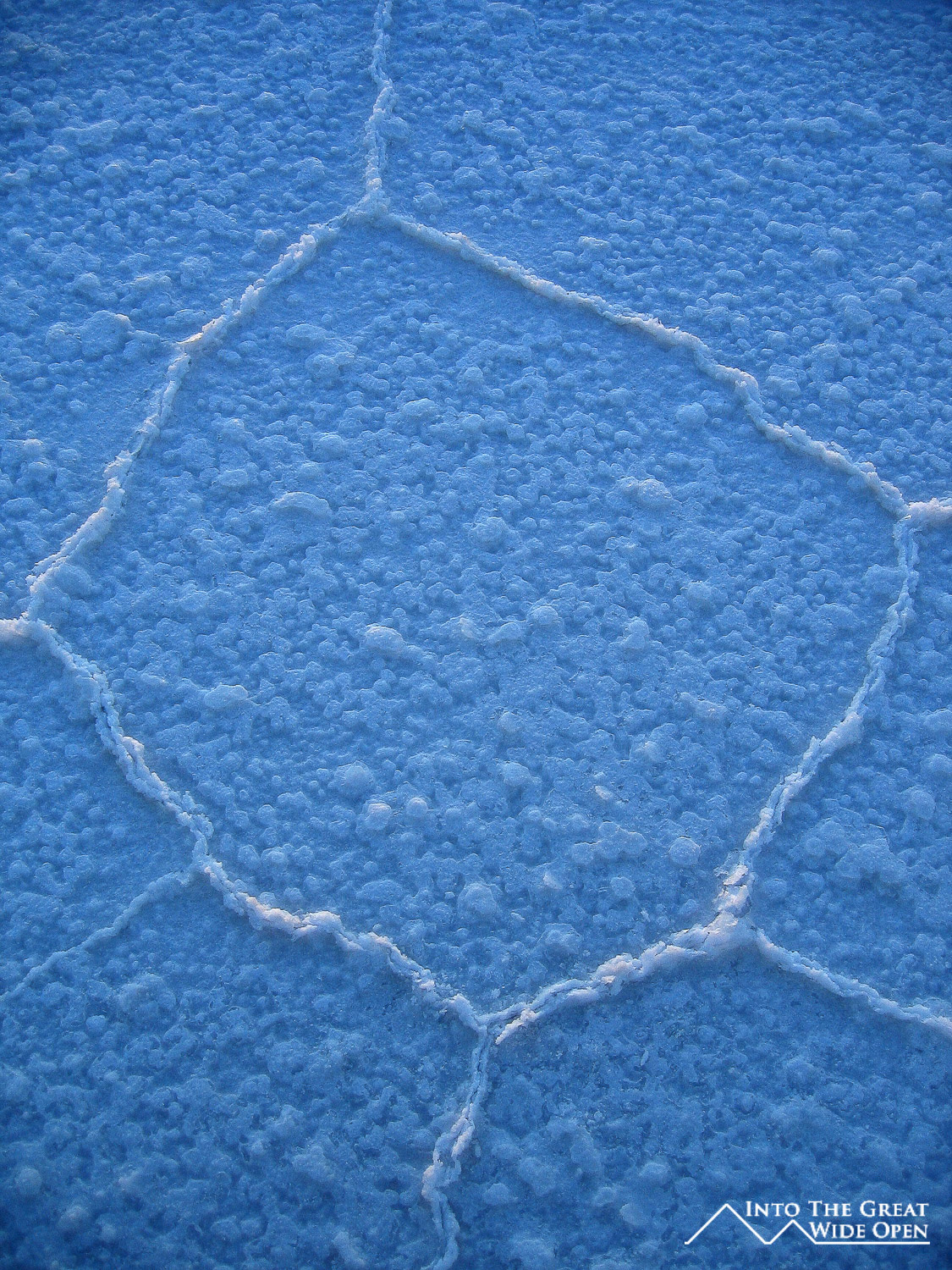
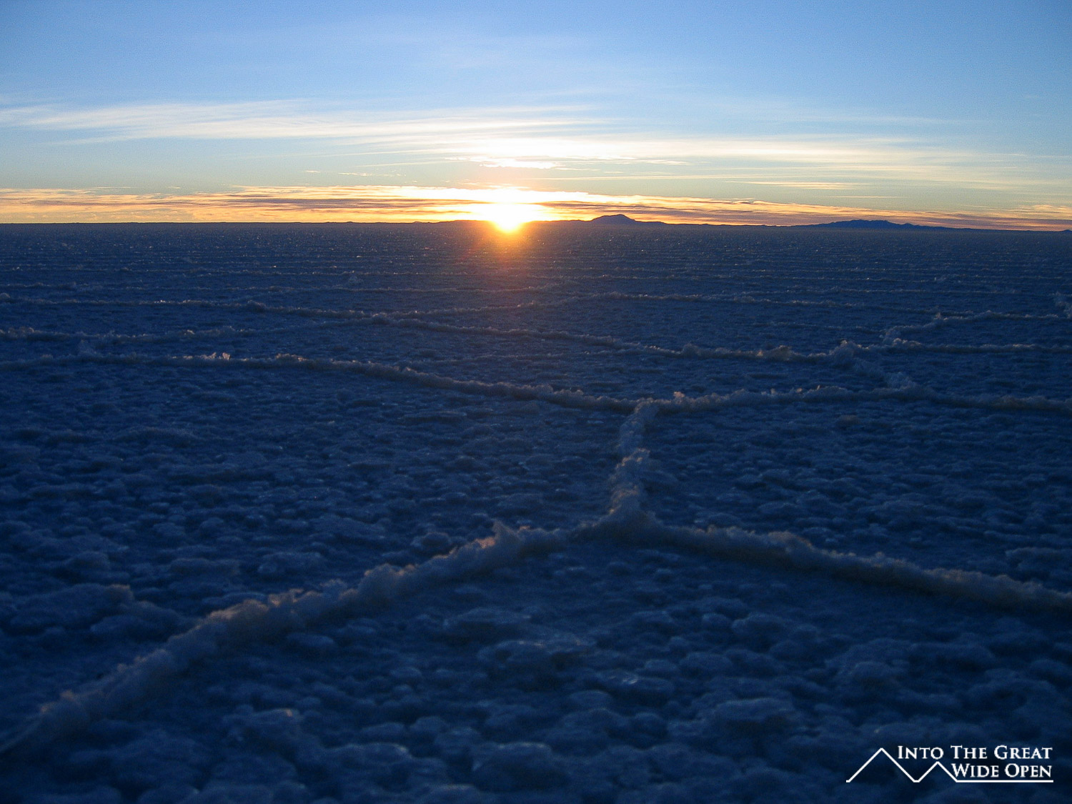
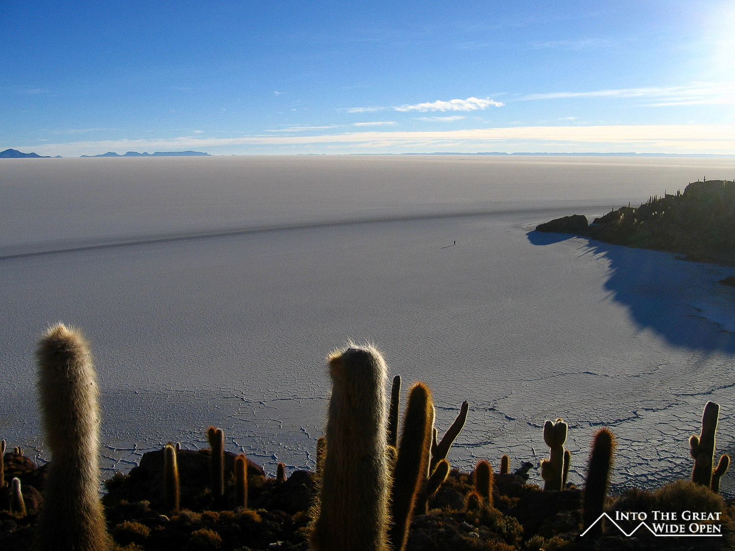
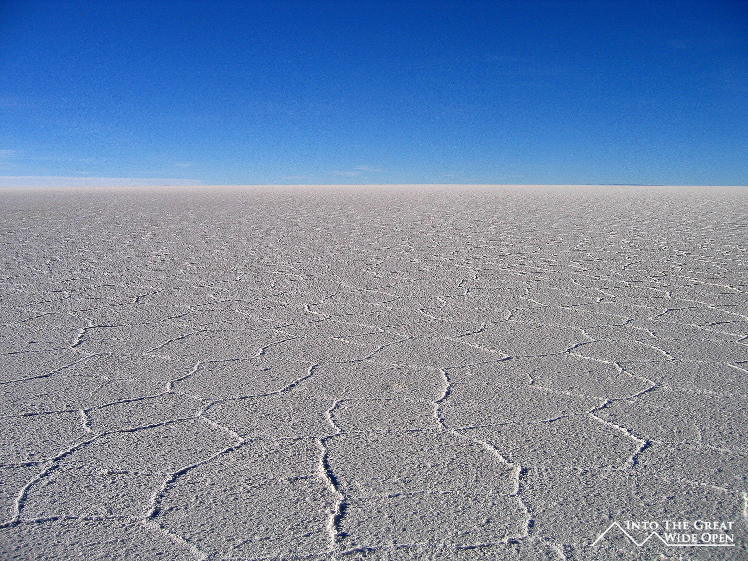
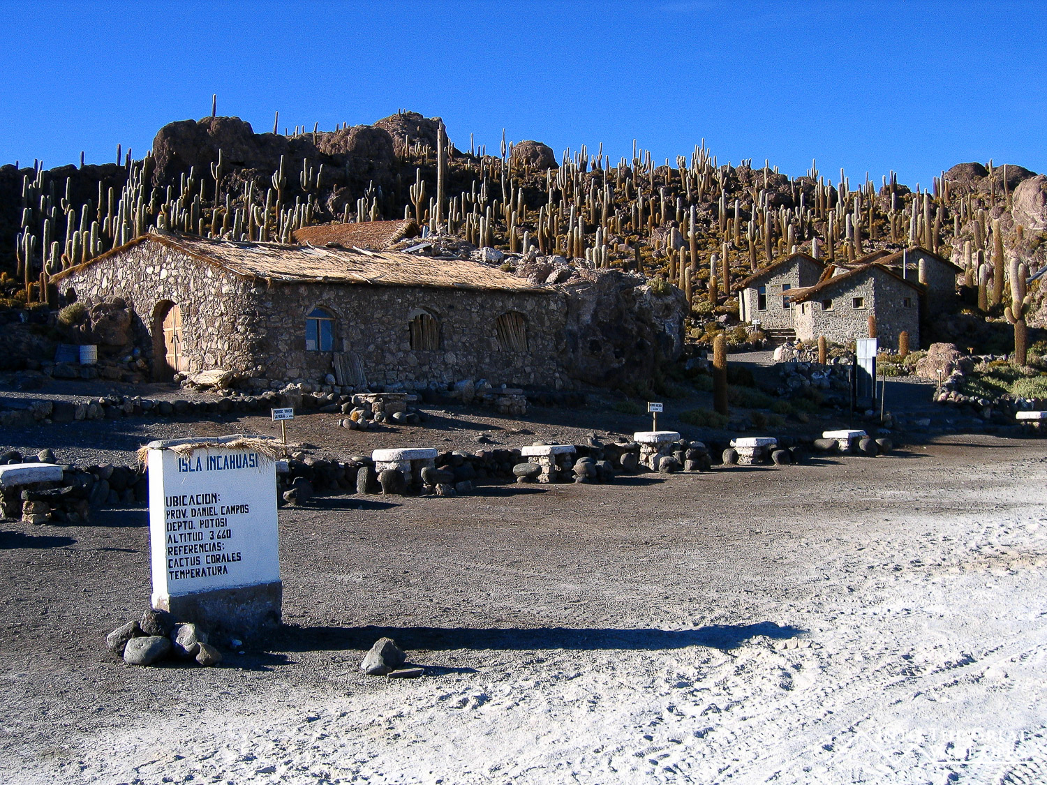
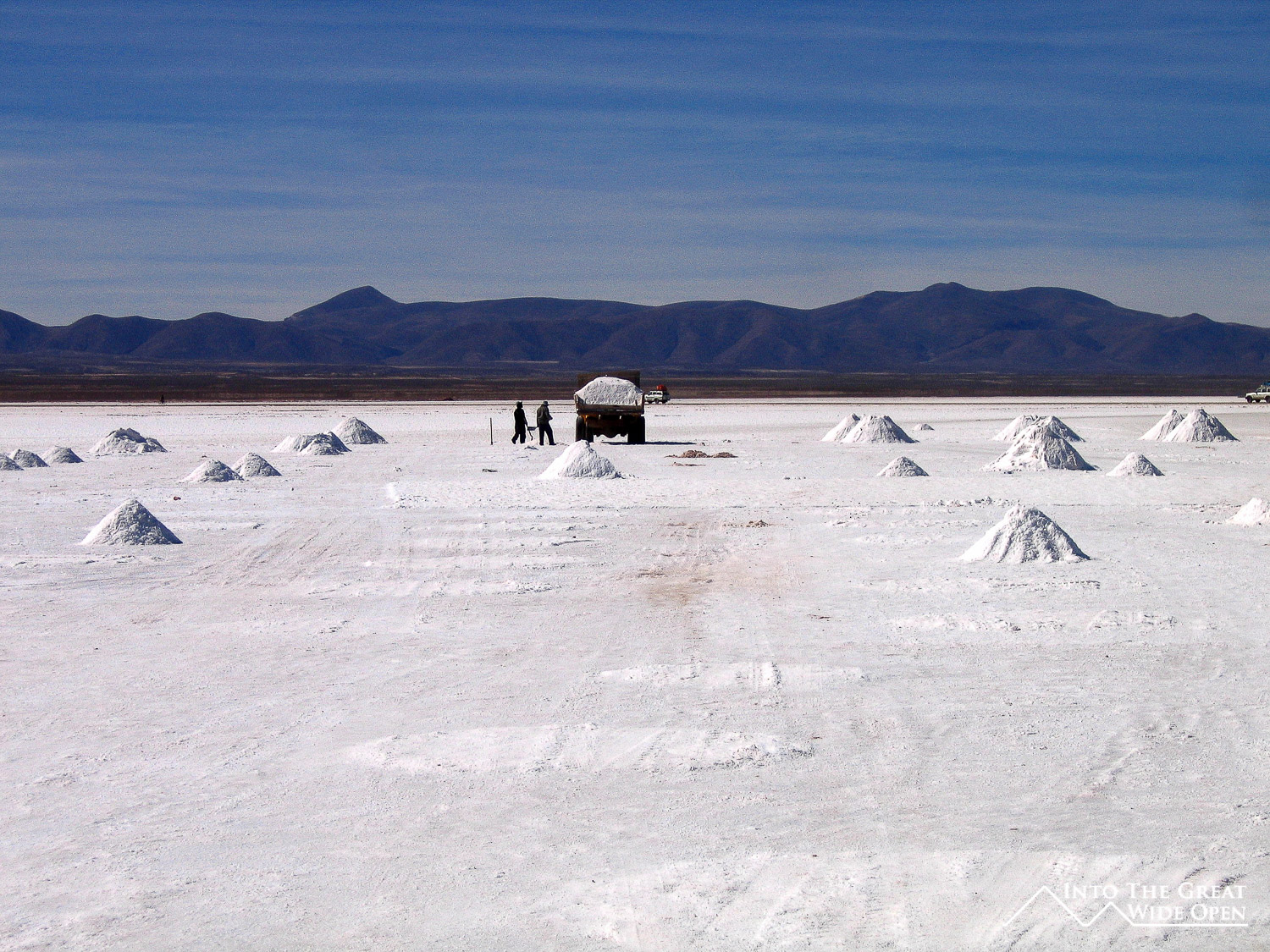
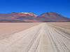
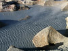
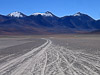
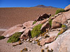
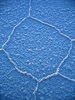
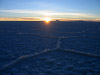
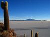
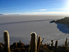
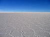
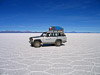
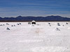
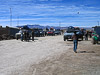
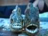
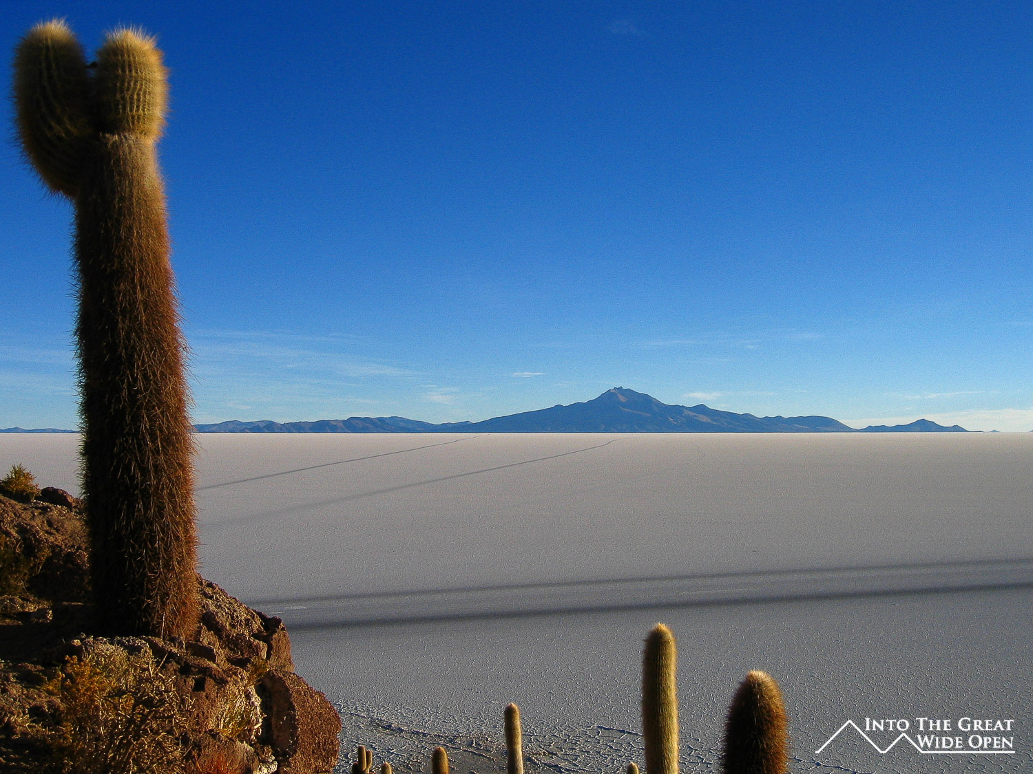
On the final morning we arose before sunrise and drove out into the Salar de Uyuni. As the sun slowly began to come up it illuminated the vast white expanse of the salt flats and showcased the strange roughly hexagonal patterns that had formed on the surface. After the sunrise we drove out to Isla de Pesca, a fish shaped rocky island in the middle of the salt flats that is covered with cactus and coral resulting from the area’s time underwater some 10,000 years ago. There is even a coral arch in the middle of the island with impressive views out to the white salt flats. The contrast of the cactus with the white of the salt was impressive. I took about fifteen to twenty minutes to walk out onto the salt flat and was amazed at the stark nothingness that existed out there, definitely an inhospitable land. As far as one could see the white expanse of the dried salt stretched out to the horizon with mountains and volcanoes looming in nearly every direction. We crossed the Salar de Uyuni and on the edge we stopped in a little village where they mine the salt. This part was also the first stop for tours heading out of Uyuni, meaning that there were about 25 Landcruisers a day in the low season and up to 50 per day in the high season, so this isn’t exactly off the beaten path anymore.
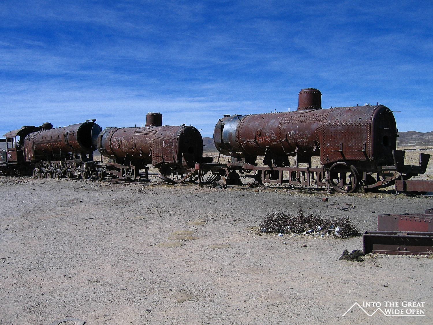
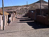
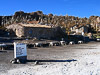
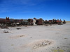
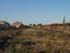
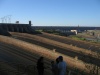
Uyuni itself was not far from the edges of the Salar de Uyuni. The town itself has absolutely nothing to offer except to serve as a staging post for the trips. The only interesting thing of merit is the train cemetery on the outskirts of town, which all the tour operators include in their circuits, consisting of the rusting wreckage of Bolivia's first trains the from the early 1900s, many of which are covered in graffiti. The surrounding area is littered with plastic bags and bottles and other garbage, caught up on all the bushes as if they were decorating for the holidays. It was a different and interesting, yet slightly disappointing ending to such a brilliant trip. The scenery that we saw from this region of the southwest of Bolivia was certainly exotic and the others concurred that it is perhaps the most unique and impressive scenery that any of us had seen, anywhere in the world.