


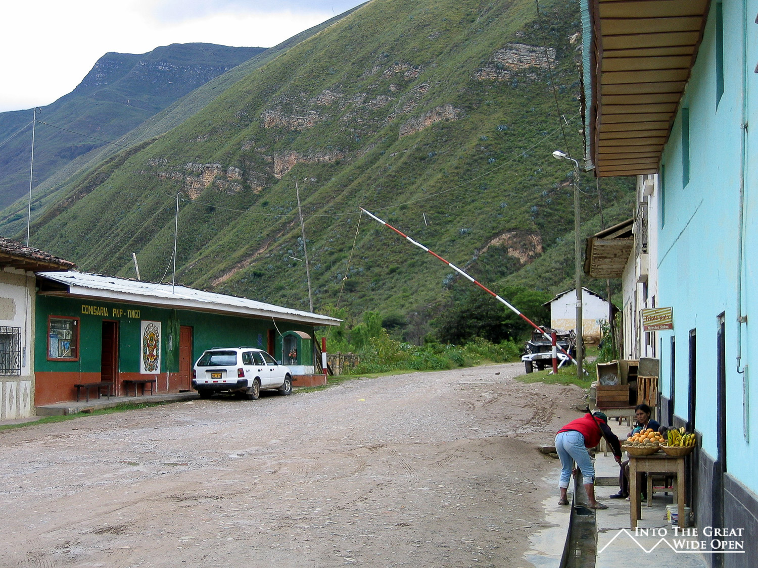
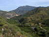


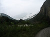
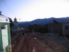

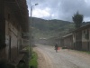
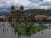

Tingo, Peru
The Fortress of Kuelap
February 4, 2008
Every moral has a story, every story has and end
Every battle has its glory, and its consequence
- Ben Harper
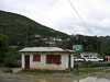
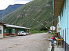
In Tingo I bought some water and had the woman in one of the two restaurants in town make some sandwiches for me to bring on the hike, which was about 6 miles and supposed to take 3 hours according to the guide book. The owner of the hospedaje showed me the way to the trail since he was going that direction anyways. He told me that most of Tingo was destroyed in a big flood in the 1990s and they have since rebuilt the town on the top of a nearby hill, well out of reach of the water.
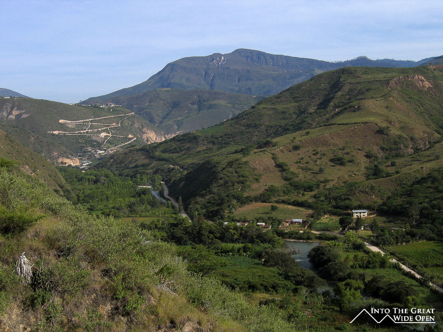
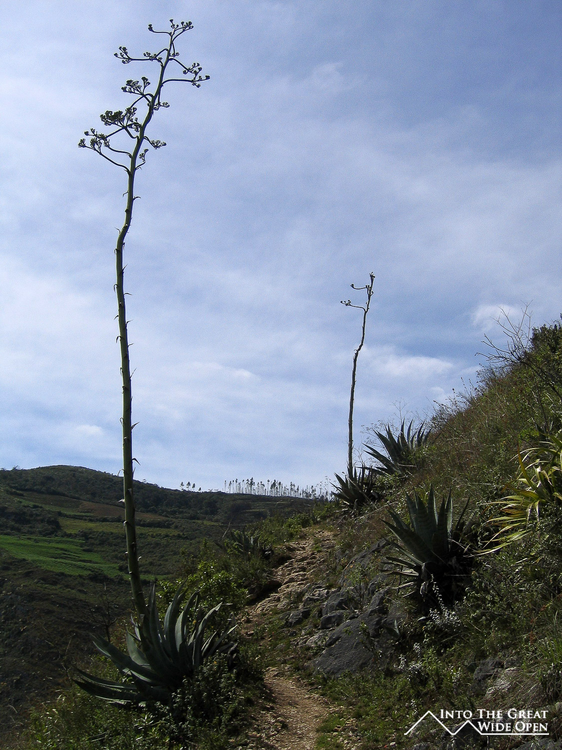
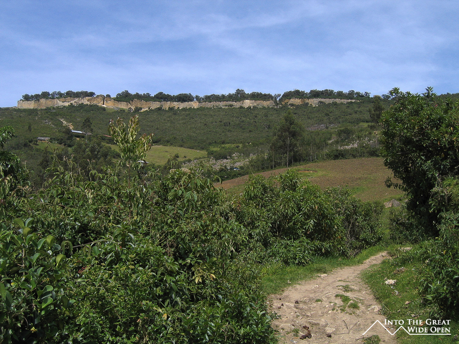
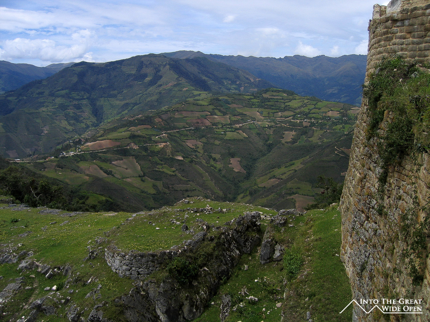
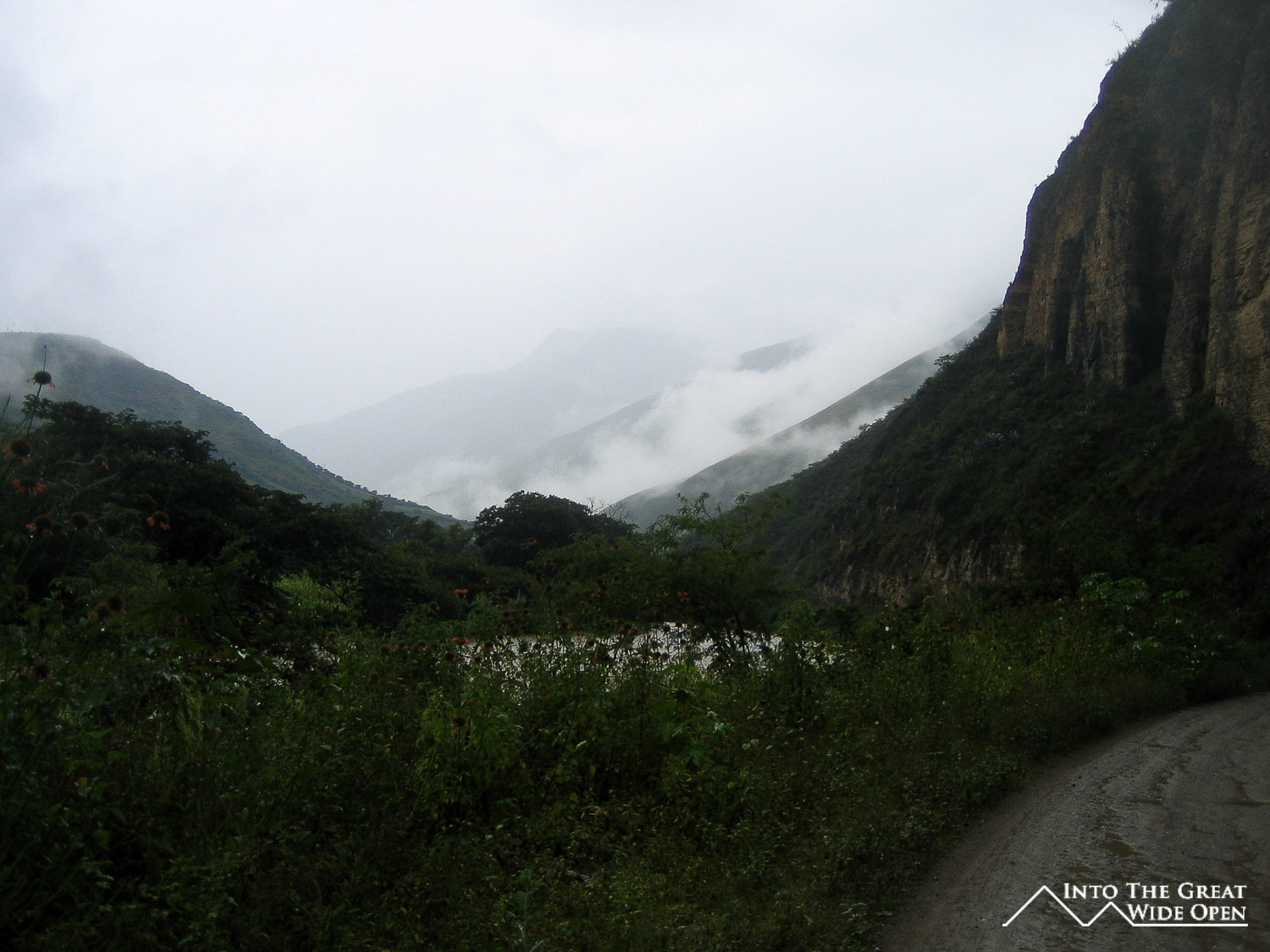
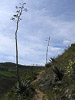
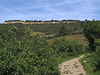
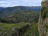
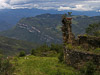
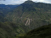
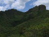
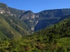
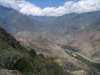
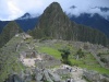
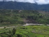
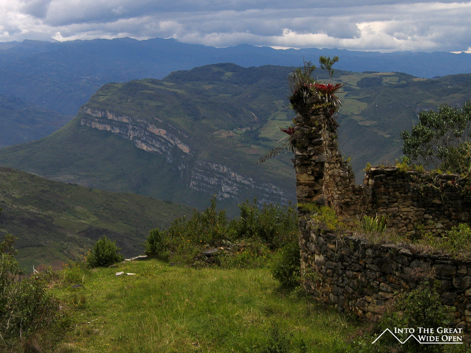
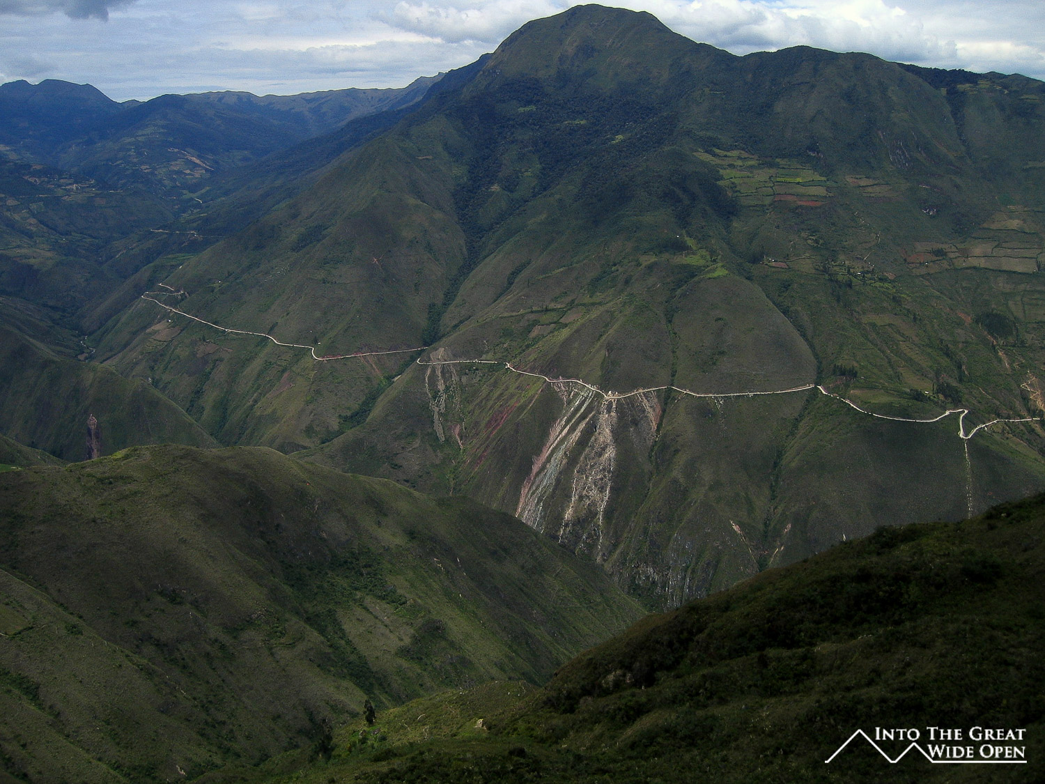
The trail to the fortress climbs up over the mountains that tower 4,500 feet above Tingo. The alternative to hiking to Kuelap is to take the 37 km road which winds all the away around the other side of the valley and through a few mountain towns before arriving on the far side of Kuelap. Fortunately I was the only person on the trail and the scenery was beautiful and tranquil but the trail was quite steep, zig-zagging up the mountain side as it climbed up from the river valley. There were a few small huts along the way and some animals grazing on hillsides, but other than the one farmer that I passed, I saw no one for the first 2 hours of the hike. I was rather lucky with the weather as it hadn´t rained in several days so everything was totally dry, and even though it was hot, it was better than slogging through mud for 3 hours. After about 2 hours of walking I rounded the top of the lower mountain and began to come to the beginnings of a town that exists on the slopes below Kuelap. There are a group of houses where people farm and live in the shadow of Kuelap without electricity, probably subsisting not much differently than the ancient people that inhabited Kuelap used to. A half hour of hiking past the town and I arrived at Kuelap.

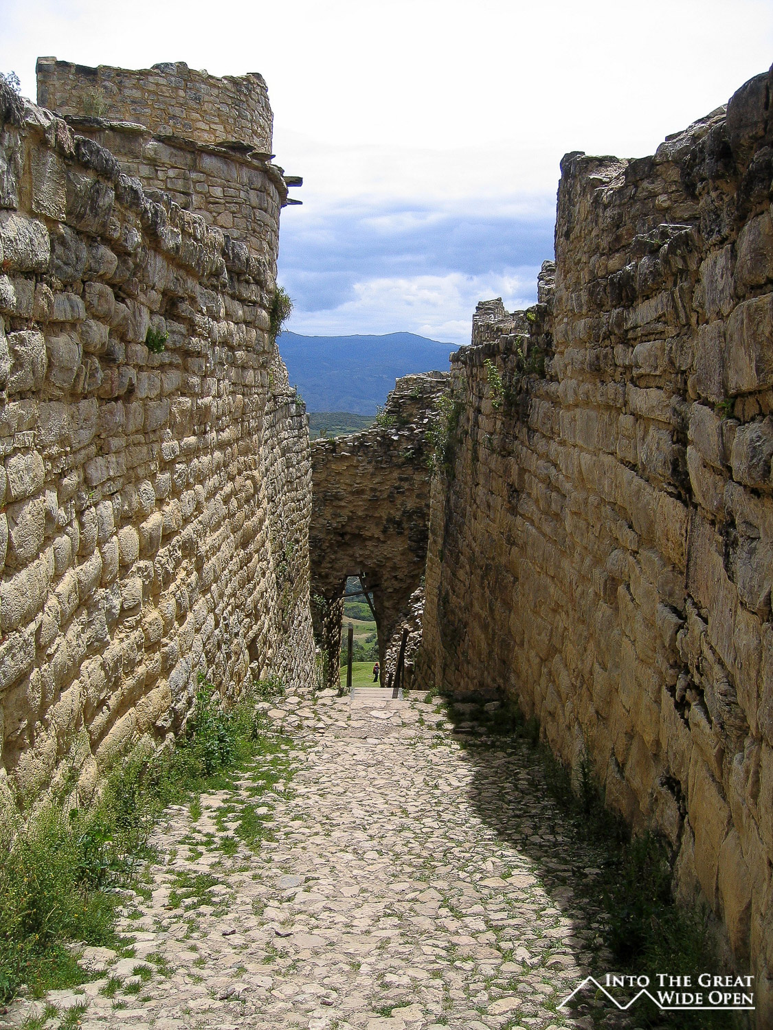
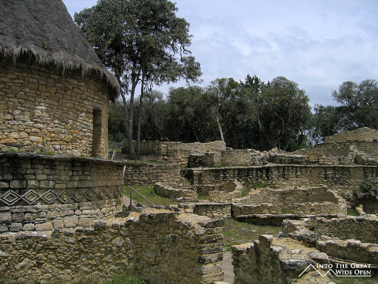
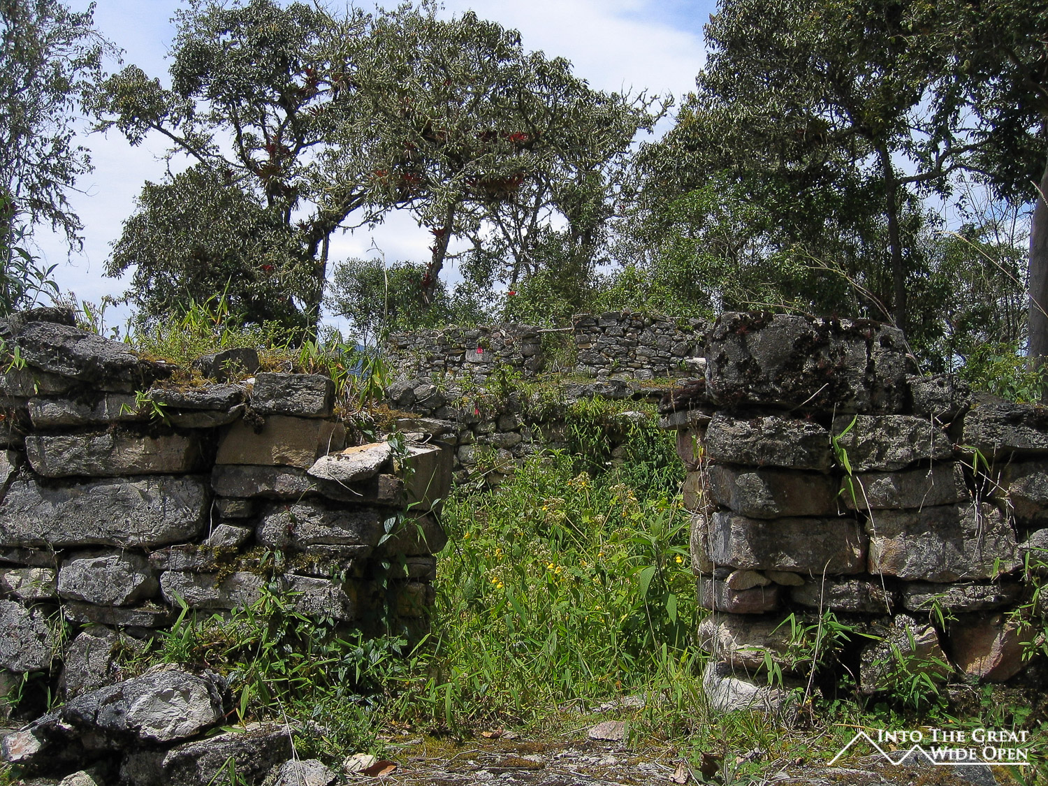
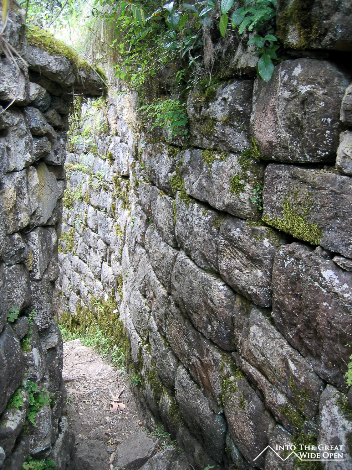
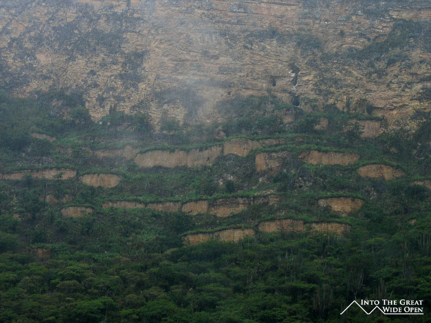
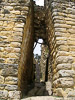
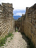
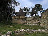
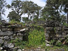
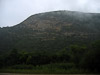
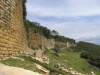
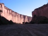
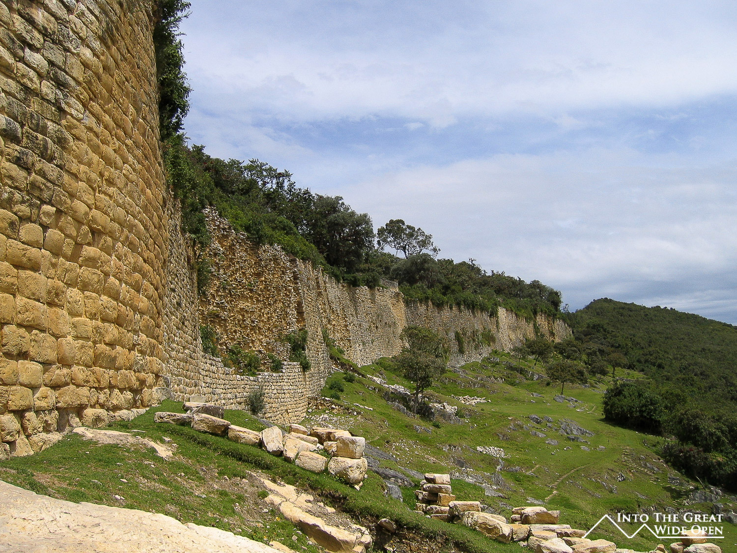
Since I walked up, and it was Sunday, I was one of the few tourists there, as all the tours from Chachapoyas had yet to arrive for the day. That meant that I was able to walk around the site all alone for about an hour, which was incredibly nice. The fortress was amazing, from the scale of it, to the setting high on the mountaintop, to the surrounding cloud forest vegetation. Part of the structure was being restored or had been restored while other parts of it had been left as it was discovered and were still inundated with vegetation. There are two entrances into the fortress and both are only wide enough for one to two people to pass through at one time, giving the occupants of the fort a tremendous defensive advantage. Imagining the fortress in in its glory and fully occupied it was hard to see how it could have been conquered with weapons from that time period. The walls are over 60 feet high and in some places almost 20 feet thick. Supposedly more stone was used to build Kuelap than in building the pyramids of Egypt, and seeing as Kuelap is located on a mountaintop at 10,000 feet elevation, that is pretty amazing.
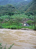
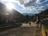
After spending a few hours at the site and having lunch I decided to begin the hike back down to Tingo. The walk back was much easier as it was entirely downhill and I think I returned in about 2 hours. There wasn´t much to do in Tingo other than have dinner and since I was tired from waking up before dawn in Chachapoyas, escaping from my hotel, and hiking 12 miles, I went to sleep early. The next morning I woke up to rain, and it had also been raining all night so everything was wet. I had planned to hike to another set of ruins across the river on a cliff side just north of Tingo; the rain, however, changed these plans.
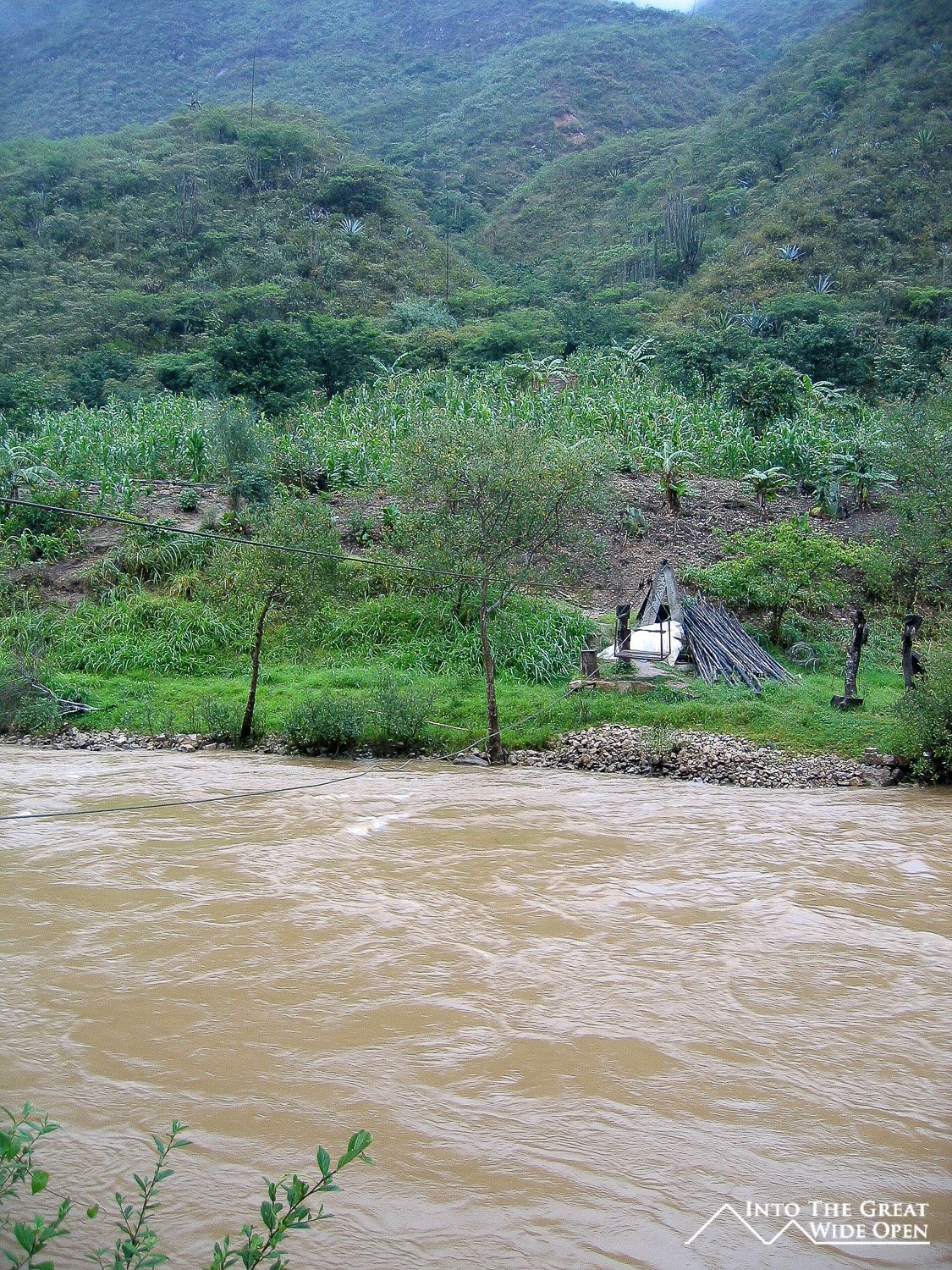
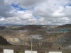
There were two ways to the ruins, one was to walk across the bridge south of Tingo and then walk through people´s fields until the trail started or to walk up the road and take the metal basket on a rope across the river to where the trail started. I opted for the second option but after walking for 20 minutes in the rain I found the metal basket to be locked to the other side of the river. With all the rain the river had risen several feet and was a rushing brown mass of muddy water, totally uncrossable. So I had to settle for taking pictures through the rain and fog and walking back in the rain, soaking wet. Seeing how much the two rivers had risen, it wasn´t hard to believe that the town was destroyed in a flood as it sits at the confluence of two rivers flowing from the mountains.
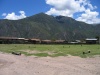
From Tingo I had to wait until the afternoon for transport to Leymabamba, the next town down the road. I passed the time having lunch and drinking some guarapo, some kind of fermented fruit beverage, with two local men. The van arrived, only two hours late, and I had to sit crammed on the bench behind the driver and passenger, normally reserved for luggage, for two hours, but at least I was able to reach Leymabamba.